Download NAIP Data for the Chesapeake Bay Watershed
HOME DOWNLOAD SOFTWARE UPLOAD LANDCOVER MAP VIEW MAPPING STATISTICS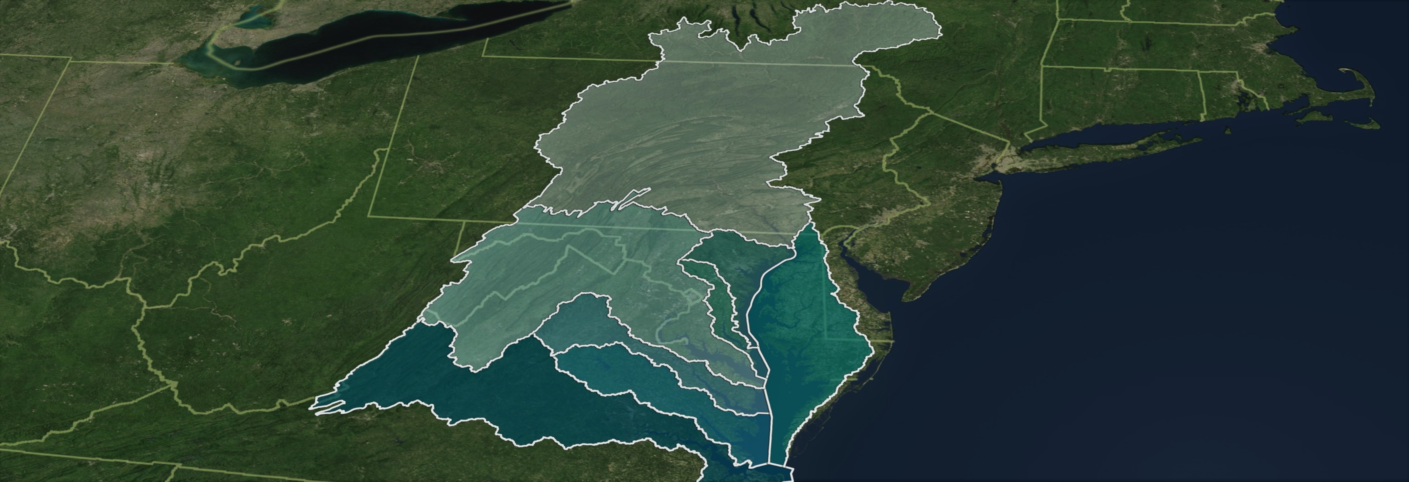
Welcome to the NAIP data download page! This web application allows you to
navigate to a grid cell on the map and download a NAIP data package for
that cell. Files available for download are GeoTIFF quarter-quad tiles as described here.
Cells are arranged by state and year. Use the dropdown menu to select the state and year of interest to you.
Once you have downloaded the imagery you wish to analyze, don't forget
to download the Land Image Analyst (LIA) software, if you haven't already. You can download the software by clicking the "Download Software" link in
the menu above or by clicking here. We strongly encourage you to
use the LIA software for your analysis and landcover map creation.
The result file from your analysis, a landcover map,
can be uploaded here. Be sure that the file you upload is in TIFF image format.
Your file will then be reviewed for quality by CBP staff. Any changes to the mapping status of a grid cell will appear on this page.
We thank you in advance for your hard work!
Select a state and year to begin: